Picture this: A bearded Greek philosopher stands hunched over a bronze tablet in the bustling port city of Miletus, circa 550 BC. Around him, merchants argue in a dozen languages while ships creak against wooden docks, their hulls heavy with exotic cargo from lands beyond the horizon. Anaximander clutches a stylus, sweat beading on his forehead despite the Mediterranean breeze. He's attempting something that has never been done before—something so audacious that it borders on madness.
He's trying to draw the entire world.
Not just his neighborhood, not just Greece, but everything—every coastline, every sea, every land mass that exists under the dome of heaven. No human being has ever attempted such a feat. There are no satellites, no GPS, no accurate measurements of distance. Just scattered tales from wine-drunk sailors, fragments of stories from caravan traders, and one man's extraordinary vision to capture the whole of existence on a piece of metal.
This is the story of history's first mapmaker, and how one Greek's wild ambition changed the way humans see their place in the universe forever.
The Visionary of Miletus
Anaximander wasn't your typical ancient Greek. Born around 610 BC in Miletus—a thriving port city on the coast of modern-day Turkey—he lived in one of the most cosmopolitan places on Earth. Miletus was where East met West, where Phoenician purple dye traders rubbed shoulders with Egyptian grain merchants, where stories of distant lands flowed as freely as wine at a symposium.
This wasn't just any philosopher pontificating about abstract ideas. Anaximander was a student of Thales (the guy who predicted eclipses and fell into wells while stargazing), but he had a practical streak that set him apart. While other thinkers debated whether water or air was the fundamental element of existence, Anaximander was busy inventing the sundial, calculating the Earth's tilt, and theorizing that humans evolved from fish—nearly 2,500 years before Darwin.
But perhaps his most revolutionary idea was this: the Earth was a cylinder floating freely in space, held in place by being equidistant from all other celestial bodies. No giant turtle holding it up, no Atlas bearing its weight—just a cosmic balancing act that wouldn't be scientifically validated for another two millennia.
It was this same revolutionary thinking that led him to attempt the impossible: mapping the world.
Bronze, Stone, and Borrowed Stories
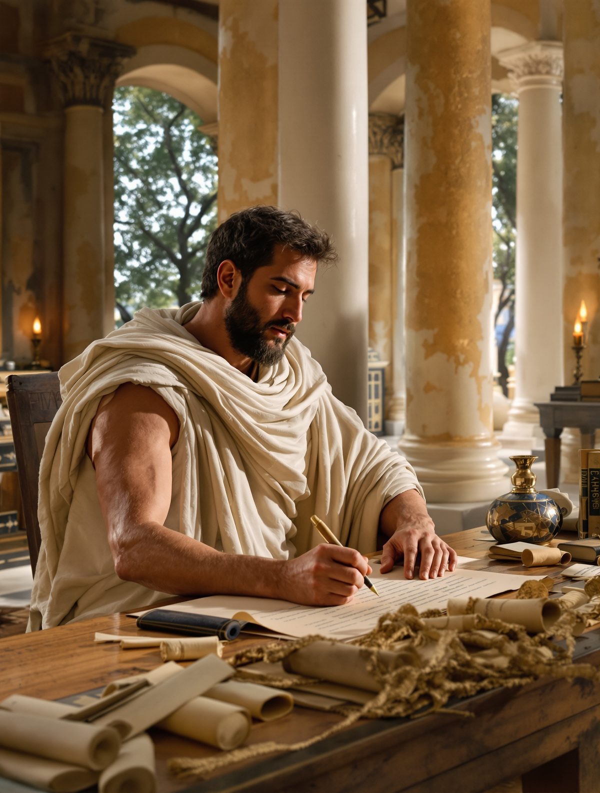
Imagine trying to draw a map of Mars using only stories from people who claim they've been there. That's essentially what Anaximander faced. His raw materials were as primitive as his task was ambitious: bronze tablets, stone surfaces, and a stylus to etch his vision into reality.
The coastline of the Aegean Sea? That he knew from personal experience. The Black Sea to the north? Plenty of Milesian colonies had been established there, so the stories were reliable. But what about the mysterious lands beyond the Pillars of Hercules (the Strait of Gibraltar)? Or the source of the Nile, which even the Egyptians couldn't definitively locate?
Here's where it gets fascinating: Anaximander didn't just accept the limitations of his knowledge—he systematically organized what he had. He interviewed merchants returning from trading expeditions, collected stories from ship captains, and cross-referenced tales from different sources. If three different Phoenician traders mentioned a large island west of Sicily, it went on the map. If Egyptian merchants consistently described the Nile flowing from the south, he drew it that way.
Archaeological evidence suggests his map was likely etched into a bronze tablet roughly three feet in diameter—massive for its time. The level of detail was unprecedented. He didn't just draw coastlines; he included major rivers, mountain ranges, and even labeled different peoples and their territories.
A World in Miniature
What did this first world map actually look like? Brace yourself—it was wonderfully, wildly wrong, yet brilliant in its conception.
Anaximander envisioned the world as a circular disc surrounded by ocean. At the center sat the Mediterranean Sea (literally "middle of the earth" to the Greeks), with Europe to the north, Asia to the east, and a vaguely defined Libya representing all of Africa to the south. The entire known world was roughly divided into two equal halves: Europe in one semicircle, Asia and Libya in the other.
The proportions were hilariously off by modern standards. The Mediterranean appeared enormous compared to the landmasses around it. The Black Sea was drawn almost as large as the Mediterranean itself. And everything beyond the familiar territories of Greek colonization became increasingly speculative and fantastical.
But here's what's absolutely remarkable: Anaximander included latitude and longitude-style grid lines. Not the mathematical precision we know today, but conceptual divisions that helped organize space in a systematic way. He was thinking like a scientist, not just an artist.
Even more astonishing, he attempted to show the relative positions of major cities and landmarks. Miletus, naturally, was prominently featured. Babylon appeared to the east, the Egyptian city of Syene (modern Aswan) to the south, and the Greek colonies scattered across the Mediterranean were marked with surprising accuracy for their relative positions.
The Ripple Effect of a Revolutionary Idea
Word of Anaximander's bronze world spread like wildfire across the ancient Mediterranean. For the first time in human history, people could see their world—not just imagine it or hear about it in stories, but actually visualize where they stood in relation to everything else.
The impact was immediate and profound. Hecataeus of Miletus, writing just a generation later, improved upon Anaximander's work, correcting obvious errors and adding new territories as Greek exploration expanded. Herodotus, the father of history, referenced these early maps constantly in his writings, using them to explain the geographical context of the Persian Wars.
But the real revolution wasn't in the accuracy—it was in the conceptual leap. Anaximander had introduced the radical idea that the world could be understood, measured, and represented systematically. Geography became a science rather than just a collection of travelers' tales.
The practical applications were enormous. Military commanders could plan campaigns with a visual understanding of terrain. Merchants could plot more efficient trade routes. Colonists could choose settlement locations based on their relationship to existing cities and resources.
Perhaps most importantly, Anaximander's map changed how humans thought about their place in the cosmos. No longer were distant lands purely mythical realms inhabited by gods and monsters. They became real places, with real people, connected to the viewer's own homeland by measurable distances and navigable routes.
Beyond the Bronze Tablet
The legacy of that first bronze tablet extends far beyond ancient Greece. Anaximander's systematic approach to mapmaking established principles that cartographers still use today: the importance of scale, the value of multiple source verification, and the power of visual representation to organize complex spatial information.
His influence can be traced through Ptolemy's world maps, which guided European exploration for over a thousand years, to the Age of Discovery, when Portuguese and Spanish navigators carried increasingly accurate maps to chart new worlds. Even the GPS system in your smartphone follows the same basic principle: organizing spatial information systematically and making it visually accessible.
But there's something even more profound at work here. Anaximander's map represented humanity's first serious attempt to see itself from what we might now call a "satellite view"—to step outside immediate experience and imagine the world from a cosmic perspective.
The World in Your Pocket
Today, as you casually pull up Google Maps to find the nearest coffee shop, you're participating in a tradition that began with a curious Greek philosopher staring at a bronze tablet 2,600 years ago. The technology has evolved beyond anything Anaximander could have imagined, but the fundamental human drive remains the same: the need to understand where we are in relation to everything else.
Every time we check our location, plan a route, or zoom out to see the bigger picture, we're echoing Anaximander's revolutionary moment in ancient Miletus. We're asserting that the world is knowable, measurable, and ultimately comprehensible to human intelligence.
In our age of satellite imagery and real-time navigation, it's easy to forget how extraordinary this assumption really is. Anaximander didn't just draw the first map—he made the first argument that humans could step outside themselves and see the world as it really is, rather than just as they experience it. In doing so, he didn't just chart unknown territories; he charted a new way of thinking that would eventually take us to the moon and back.
That bronze tablet in Miletus wasn't just the first map. It was humanity's first glimpse of itself from space.